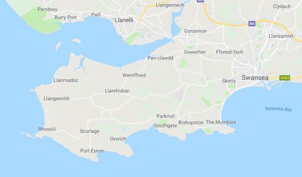
So, after we left Weobley, we continued along the southern coast of Wales. So, you can see the last post we went from Llanmadoc to Weobley Castle on the way to Rhossili. (NOTE: I just looked through my photos and realized that going to Rhossili was a day trip – it wasn’t us leaving Wales yet. This is what happens when you don’t update your blog often enough. Anyhoo …)
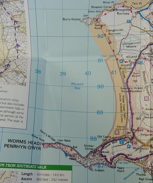
Here’s another map photo showing Worm’s Head:
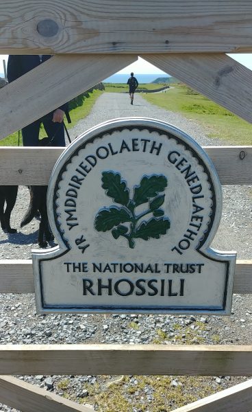
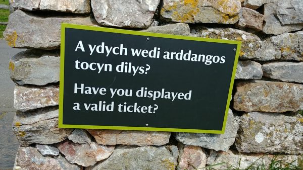
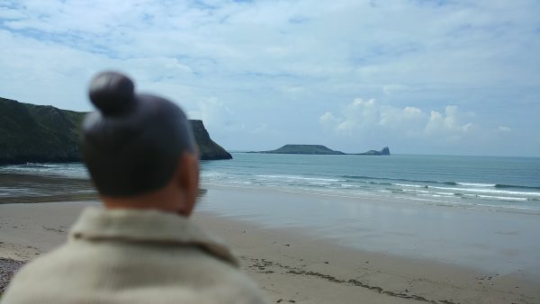
I’ll talk about this later in this post, but in the distance you can see ‘The Worm’
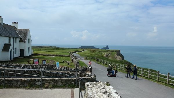
You’ve probably figured this out already, but “TRAETH” is “BEACH” in Welsh. It is pronounced “trieth.”
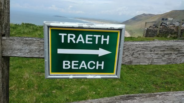
First we walked around the ‘top’ for a bit to check things out. Of course, there were the omnipresent sheep (white, brown AND black!)
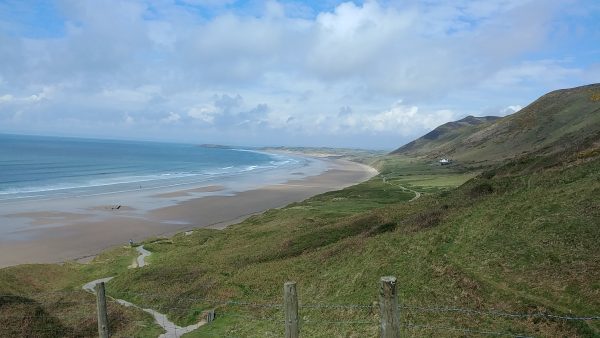
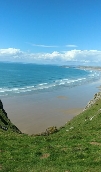
I don’t think I’ve ever been to a beach where you could see the waves forming so far out
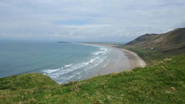
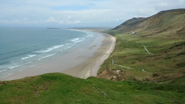
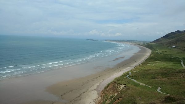
So, we started going down the steep path down
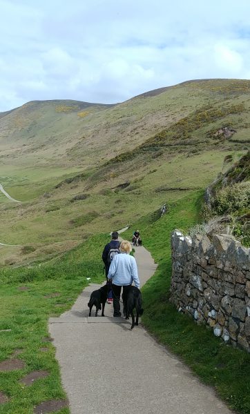
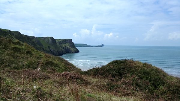
Beautiful views all the way down (you can see The Worm in the distance from here too)!



We saw the wreck of the Helvetia (1887) – make sure you click on the link!
http://www.explore-gower.co.uk/helvetia-shipwreck-rhossili
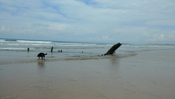
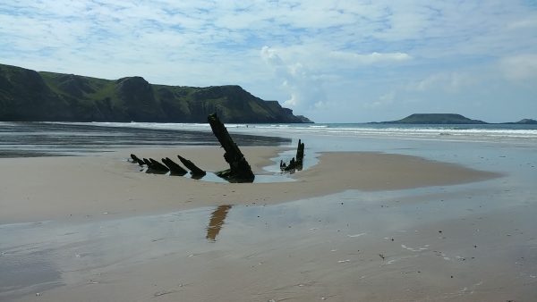
Then we went ‘paddling’ (wading to you US folks)
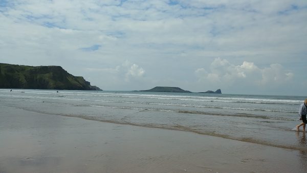
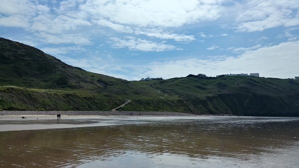
After an out and back on the beach, time to walk back up and get a snack
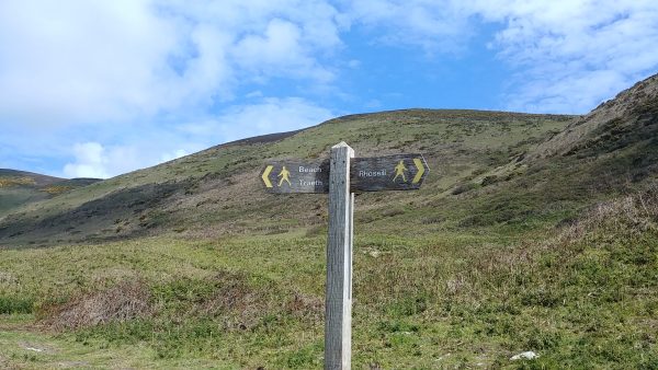
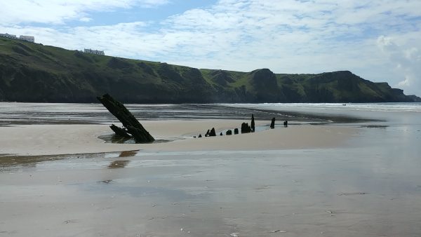
While we were walking, the tide went out a lot – you can see the Helvetica wreck but it’s a lot ‘higher’ up the beach from the water than it was before
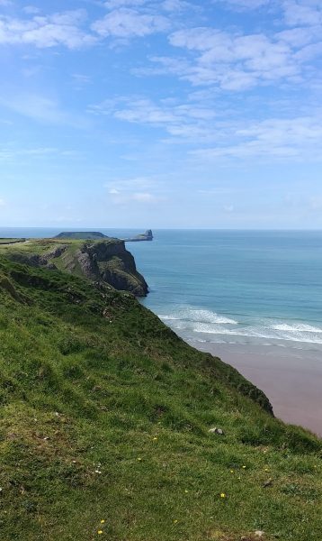
Here is a closer view of The Worm. Right now the tide is out, so the lower part can be seen. During high tide, it’s completely under water. People are only allowed to hike out to the end point of the worm during certain time spans during low tide, to ensure they can get back to the mainland (it’s about a 3-hour round trip). Apparently back in the day Dylan Thomas walked out to the end of The Worm, and got stuck out there overnight!
http://www.dylanthomas.com/dylan-thomas-trails/mumbles-gower/rhossili/
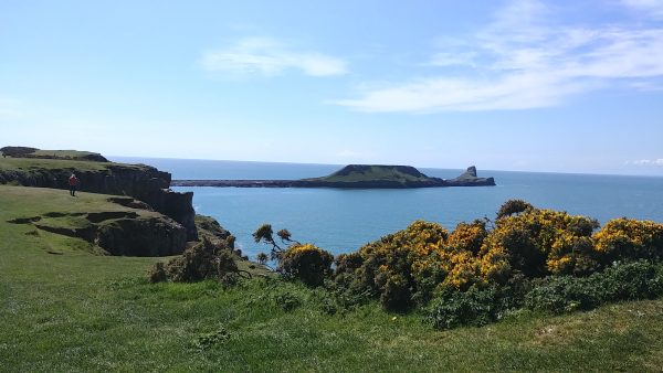
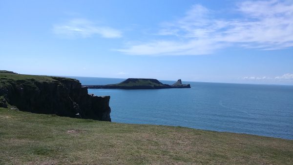
Here is a close-up of the lower part of The Worm
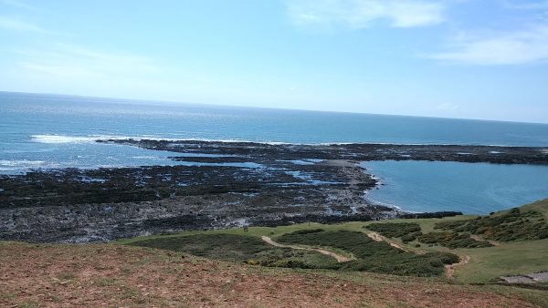
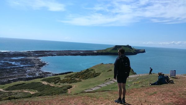
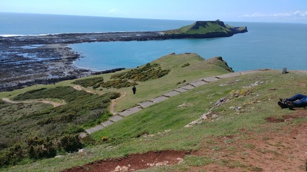
We were thinking about walking across The Worm, but when we got close up, it was evident that the footing was pretty tough. And we were worried that Alfie and Dylan (the two lurchers with us) would have a hard time (never mind that WE would’ve had a hard time!) AND, we didn’t want to miss the cut off to get back. Maybe next time …
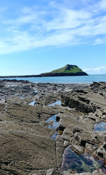
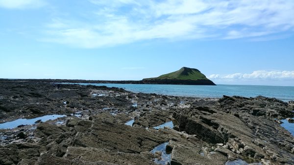
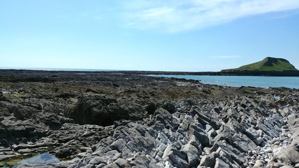
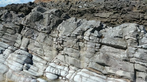
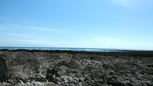
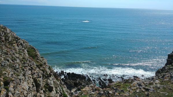
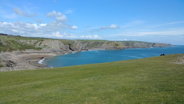
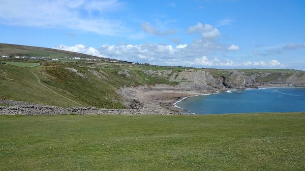
So, we hiked back up and walked along the cliff …
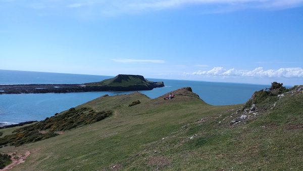
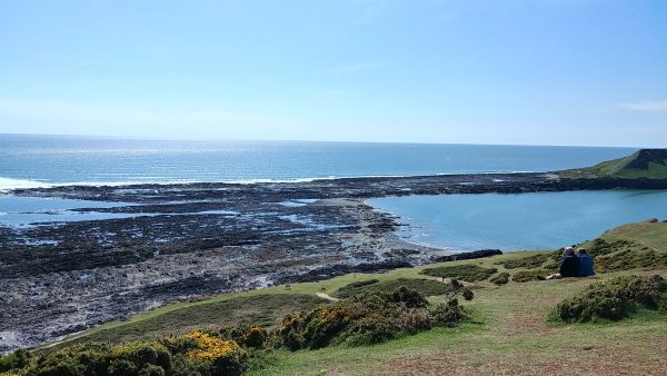
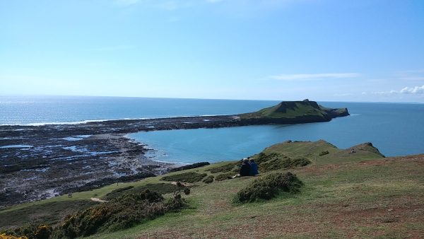
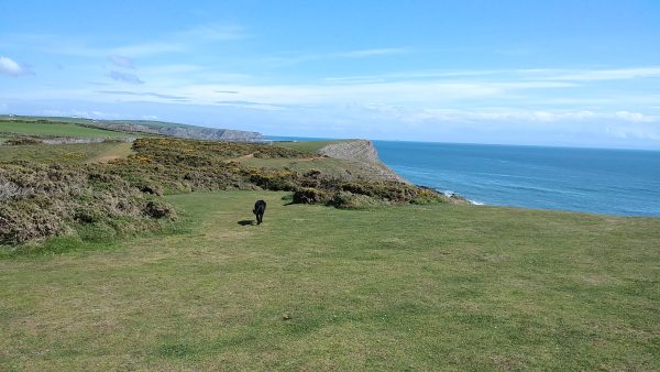
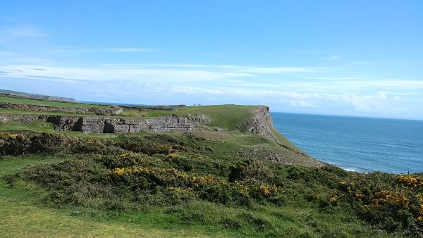
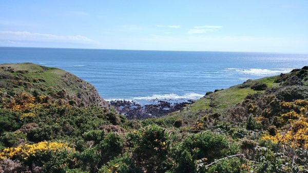
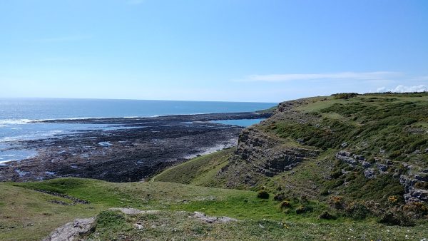
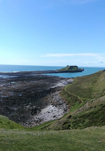
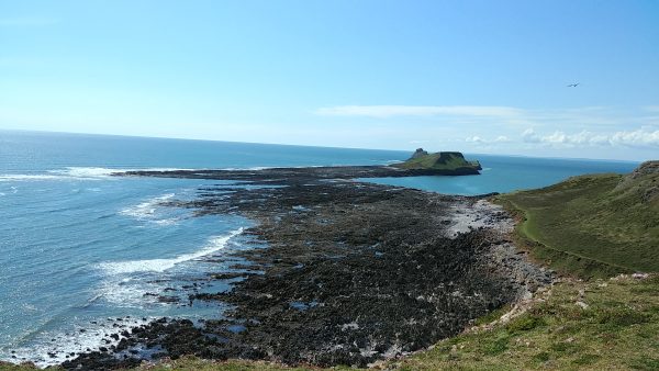
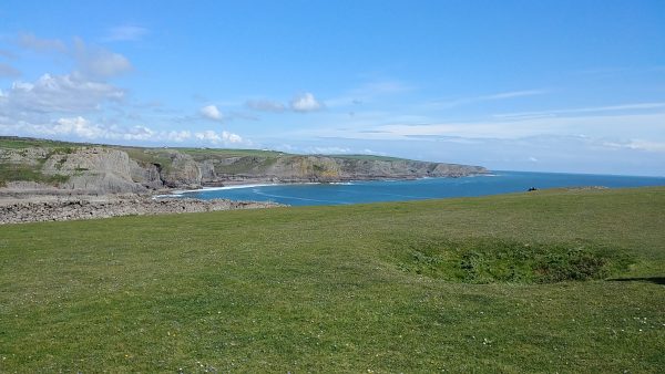
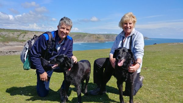
Photo opp for Bill, Anthea, Alfie (left) and Dylan
Anyway, that was our day trip to Rhossili. Even though it looks far on the map I showed, it was only about 9 miles away. Gives you an idea of how big Wales is.
I’m going to go through my photos and make sure I remember things right, and then the next post will be about our trip from Llanmadoc back to England, along the southern coast (as I said earlier). Thanks for your patience!